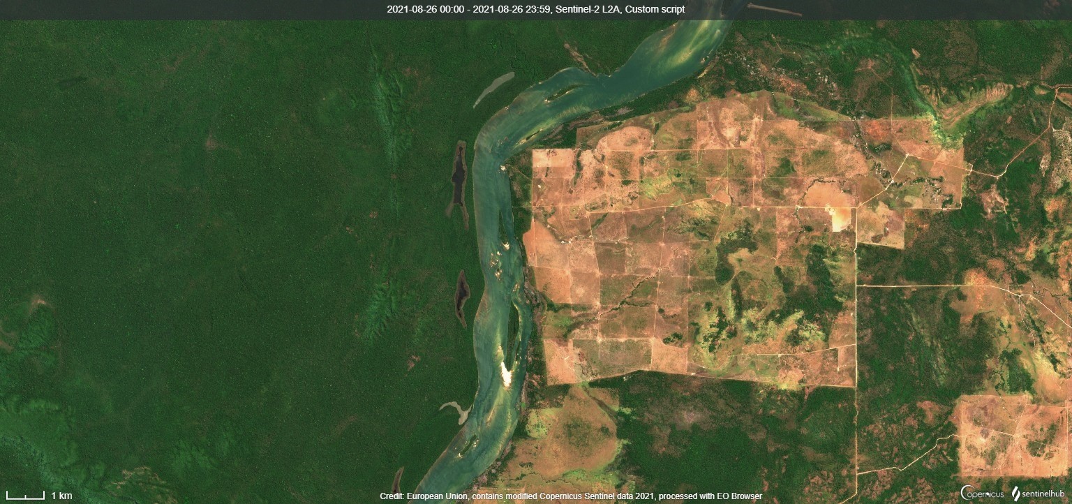
 Image of the Amazon rainforest and the Xingu River in Brazil via Sentinel-2 satellite in true colors, processed with EO Browser of Sentinel Hub.
Beetle ForTech and research partners develop smart monitoring tools for regenerative forestry and sustainable forest management (SFM). Our goal is to strongly reduce the possibilities of fraud in timber trade with better detection of illegal logging activities. At the same time, better assessment of environmental impacts can be achieved, increasing transparency and credibility for forest certification programs.
Forests are home to an abundant biodiversity and one of the most precious ecosystems. Worldwide, up to every third tree is illegally felled. Roundwood with a worth of € 200 billion is produced globally every year. There is a significant lack of effective and digitalized forest monitoring tools with earth observation (EO) that allows detection of illegally selective logging activities as well offers independent spatial forest information for more targeted inspections.
These problems must be solved and can only be achieved through integrating a satellite-based forest monitoring system and an innovative GPS-based round wood tracking system to offer more efficient, cost-effective, and fraud-proof verification tools for sustainable forest certification.
Earth observation as extra security layer for risk-based auditing and economical inspections
The synergies of Copernicus satellite data and a GPS-based timber tracking solution will be employed for improvement of spatial data used in forest certification and supply chain monitoring.
Forest certification is a process that fosters SFM by empowering consumers to purchase sustainable timber products and allowing timber supply chain members to prove the sustainability of their operations and products.
A major point of criticism towards certification procedures is that they rely on document-based assessments to evaluate forest management practices and do not explicitly monitor logging activities, environmental impacts or track individual timber supplies. A satellite-based near real-time monitoring of forest changes allows us to detect illegal logging activities and to better evaluate local environmental impacts. A proof-of-concept will allow various user groups to test our products and services via a web-based interface after all data streams are combined in a secure cloud-based IT system. Certification bodies gain a better verification of reported timber harvests and can detect illegal and unreported logging activities. Remote forest regions can be inspected and assessed by satellite-based remote sensing.
The EO-EnForCe project timeframe is September 2021 – August 2023. Our collaborative partners are Joanneum Research (Remote Sensing and Geoinformation) and Sentinel Hub GmbH (Cloud API for Satellite Imagery). The project is funded under the “Austrian Space Applications Programme ASAP” of The Austrian Research Promotion Agency (FFG).
![]()